Copernical Team
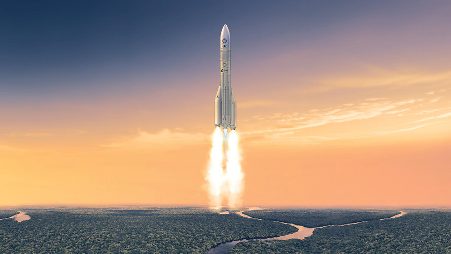
Ariane 6 inaugural launch targeted for 9 July
Maine company plans to launch small satellites starting in 2025

Representatives for a Maine company that plans to send small satellites into space from the Northeast's most rural state said they will start launches next year.
Brunswick-based bluShift Aerospace hopes to turn Maine into a hub for the launching of commercial nanosatellites and has been making progress toward that goal for more than three years.
Space race heats up: Advanced electronics cooling systems for spacecraft
. DOI: 10.1016/j.enss.2024.03.001")
Spacecraft electronics operate under extreme conditions, facing issues like microgravity, thermal cycling, and space radiation. These factors necessitate robust thermal management solutions to maintain the functionality and longevity of onboard equipment.
Traditional thermal control methods often fall short in addressing these challenges. Based on these challenges, there is a need to conduct in-depth research on advanced thermal management technologies to ensure the stability and efficiency of space missions.
A comprehensive review by researchers from Xi'an Jiaotong University and the Xi'an Institute of Space Radio Technology, published in Energy Storage and Saving on March 28, 2024, delves into advanced thermal management technologies for spacecraft electronics. The study categorizes these technologies based on heat transfer processes, including heat acquisition, transport, and rejection.
The review evaluates thermal management technologies (TMTs) for spacecraft electronics, focusing on heat acquisition, transport, and rejection.
First metal 3D printing on International Space Station

One small s-curve deposited in liquefied stainless steel equals a giant leap forward for in-orbit manufacturing: This is the very first metal 3D printing aboard the International Space Station, which took place last Thursday, aboard ESA's Columbus laboratory module.
"This S-curve is a test line, successfully concluding the commissioning of our Metal 3D Printer," explains ESA technical officer Rob Postema.
"The success of this first print, along with other reference lines, leaves us ready to print full parts in the near future. We've reached this point thanks to the hard efforts of the industrial team led by Airbus Defense and Space SAS, the CADMOS User Support Center in France, from which print operations are overseen from the ground, as well as our own ESA team."
Sébastien Girault, part of the team at consortium leader Airbus adds, "We're very happy to have performed the very first metal 3D printing aboard the ISS—the quality is as good as we could dream."
The Metal 3D Printer technology demonstrator has been developed by an industrial team led by Airbus under contract to ESA's Directorate of Human and Robotic Exploration.
Boeing's Starliner set up for third shot at first human spaceflight

A pair of NASA astronauts will try again on Wednesday morning to take a ride on Boeing's CST-100 Starliner, making its first-ever human spaceflight.
Butch Wilmore and Suni Williams have already suited up and climbed on board the spacecraft twice in the last month, but will try for a third time with a launch attempt set for 10:52 a.m. atop a United Launch Alliance Atlas V rocket from Cape Canaveral Space Force Station's Space Launch Complex 41.
Space Launch Delta 45's weather squadron forecasts a 90% chance for good conditions.
The most recent attempt on Saturday came within four minutes of liftoff, but an issue with ULA's computer system at the launch pad forced the scrub.
"The disappointment lasts for about three seconds," said ULA President and CEO Tory Bruno after the scrub. "We've been at this a long time and you just immediately get busy and do your job, and we'll be back."
Teams have since replaced the launch computer hardware, setting up the latest attempt. A May 6 attempt was scrubbed because of a fluttering valve on the ULA rocket's upper Centaur stage, also since replaced, while Boeing and NASA had to sign off on the safety of a small helium leak on Starliner's propulsion module that they ultimately decided not to fix.
Mission complete for ESA's OPS-SAT flying laboratory

Launched on 18 December 2019, OPS-SAT was tasked with opening up the world of spacecraft operations to the widest possible audience. Its founding principle was to provide a fast, no-charge, non-bureaucratic experiment service for European and Canadian industry and academia.
It brought experimenters from companies, universities and public institutions across Europe and beyond into the heart of ESA's ESOC mission control center and helped them prove that their new ideas were up to the challenge of flying in orbit.
Flying ESA's most capable and flexible onboard computer, OPS-SAT showed us what future satellites will be capable of as they begin to carry more advanced equipment.
An in-orbit laboratory open to all
OPS-SAT was the first fully ESA-owned and operated CubeSat. A small, low-cost, innovative and open mission was unusual for ESA mission control, which typically flies Europe's largest and most complex spacecraft around Earth and across the solar system.
Craft unfurls China's flag on the far side of the moon and lifts off with lunar rocks to bring home
 handout image released by Xinhua News Agency, a Chinese national flag carried by the lander of Chang'e-6 probe unfurls at the moon's far side, Tuesday, June 4, 2024. China says a spacecraft carrying rock and soil samples from the far side of the moon has lifted off from the lunar surface to start its journey back to Earth. Credit: CNSA/Xinhua via AP")
The Eagle-1 mission patch has landed
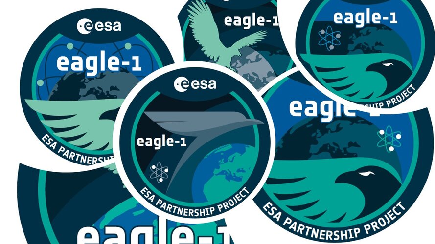
The Eagle-1 satellite team has revealed the design of their new mission patch. Originally associated with human spaceflight missions, patches are now released for a broad range of projects and expeditions. Here, we explore the development of an ESA mission patch, from concept to production.
Mission complete for ESA’s OPS-SAT flying laboratory

ESA’s experimental OPS-SAT CubeSat mission came to an end during the night of 22—23 May 2024 (CEST).
Prepare for the European Launcher Challenge