Extreme weather, including flooding, is becoming more frequent as climate change takes its toll on the planet. One of the many regions to be hit by floods in recent years is the south of France, with heavy rainfalls caused in part by humidity above the Mediterranean Sea.
The Robusta-3A satellite, launching on Ariane 6’s first mission, is set to fly 580 km over our planet to help quantify the accumulation of water vapour over the Mediterranean Sea and improve the forecast of severe rain leading to flooding.
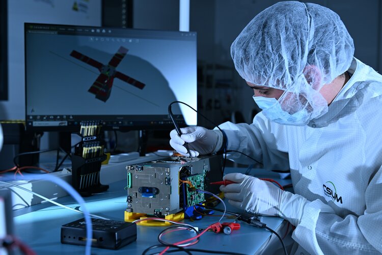
Robusta-3A is a 30-cm CubeSat from the University Space Center of Montpellier in France. It will gather reflected signals from navigation satellites such as from Europe’s Galileo constellation that are bounced off water into the air. The data gathered by Robusta-3A from space is compared to data collected from navigation receivers on ships in the Mediterranean Sea, and the differences between the two will allow researchers at Météo-France to form a better understanding of the process behind how water vapour forms flash floods.


