Displaying items by tag: multispectral
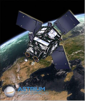
SEOSat - Ingenio - Earth Observation Satellite of Spain
Ingenio, Spanish for “ingenuity”, is an optical high-resolution imaging mission of Spain - the flagship mission of the Spanish Space Strategic Plan 2007-2011. The mission is devoted to providing high resolution multispectral land optical images to different Spanish civil, institutional and government users, and potentially to other European users in the framework of Copernicus (formerly GMES) and GEOSS. The overall mission objective is to provide information for applications in cartography, land use, urban management, water management, environmental monitoring, risk management and security. The requirements call for panchromatic imagery of 2.5 m and multispectral imagery of 10 m resolution. 1) 2)
Copernicus: Sentinel-2 - The Optical Imaging Mission for Land Services
Sentinel-2 is a multispectral operational imaging mission within the GMES (Global Monitoring for Environment and Security) program, jointly implemented by the EC (European Commission) and ESA (European Space Agency) for global land observation (data on vegetation, soil and water cover for land, inland waterways and coastal areas, and also provide atmospheric absorption and distortion data corrections) at high resolution with high revisit capability to provide enhanced continuity of data so far provided by SPOT-5 and Landsat-7. 1) 2) 3) 4) 5) 6) 7) 8)

