Displaying items by tag: GMES
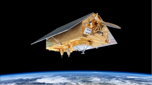
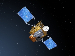
Copernicus: Sentinel-6 - Michael Freilich Mission - formerly Jason-CS Mission
Jason-CS is the second component of the hybrid solution (Jason-3 + Jason-CS) agreed to in 2009. Jason-CS will ensure continuity with Jason-3 to guarantee adequate overlap with Jason-3. At least two satellites with a 7 years lifetime each (5 years + 2 years consumables) are planned to give time before new technologies such as swath interferometry (SWOT mission) can be considered as operational. 1) 2)
The Jason-CS satellite will carry a radar altimeter package to continue the high-precision, low-inclination altimetry missions of Jason-2 and -3. It will complement the high-inclination measurements on Sentinel-3 to obtain high-precision global sea-surface topography for the marine and climate user community.
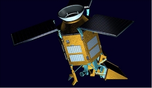
Copernicus: Sentinel-5P - Precursor - Atmospheric Monitoring Mission
Sentinel-5P (or S-5P, or S5P) is an approved LEO pre-operational mission within the European GMES (Global Monitoring for Environment and Security) program — a collaborative effort of ESA and NSO (Netherlands Space Office). The goal is to fill the gap between the current atmospheric monitoring instruments SCIAMACHY on ESA's Envisat satellite and OMI (Ozone Monitoring Instrument) carried on NASA's Aura mission, as these instruments come to the end of their lifetimes, and the launch of the Sentinel-5 mission is planned for the timeframe 2020. Note: The Envisat mission operations ended on May 9, 2012. 1) 2) 3) 4)
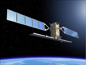
Copernicus: Sentinel-1 - The SAR Imaging Constellation for Land and Ocean Services
Sentinel-1 is the European Radar Observatory, representing the first new space component of the GMES (Global Monitoring for Environment and Security) satellite family, designed and developed by ESA and funded by the EC (European Commission). The Kopernikus missions (Sentinel-1, -2, and -3) represent the EU contribution to GEOSS (Global Earth Observation System of Systems).
Copernicus Programme
Copernicus is the European Union's Earth observation programme coordinated and managed by the European Union (EU) in partnership with the European Space Agency (ESA), the EU Member States and EU Agencies.
It aims at achieving a global, continuous, autonomous, high quality, wide range Earth observation capacity. Providing accurate, timely and easily accessible information to, among other things, improve the management of the environment, understand and mitigate the effects of climate change, and ensure civil security.
The objective is to use vast amount of global data from satellites and from ground-based, airborne and seaborne measurement systems to produce timely and quality information, services and knowledge, and to provide autonomous and independent access to information in the domains of environment and security on a global level in order to help service providers, public authorities and other international organizations improve the quality of life for the citizens of Europe. In other words, it pulls together all the information obtained by the Copernicus environmental satellites, air and ground stations and sensors to provide a comprehensive picture of the "health" of Earth.
GMES / Copernicus
Global Monitoring for Environment and Security (GMES) is a joint initiative of the European Commission and European Space Agency, which aims at achieving an autonomous and operational Earth observation capacity.
The objective is to rationalize the use of multiple-sources data to get a timely and quality information, services and knowledge, and to provide autonomous and independent access to information in relation to environment and security. In other words, it will pull together all the information obtained by environmental satellites, air and ground stations to provide a comprehensive picture of the "health" of Earth.
GMES is the European Union contribution to the Global Earth Observation System of Systems GEOSS.
'Copernicus' is the new name for the GMES programme (June 2013). 

