D-Orbit cancels SPAC merger plan
Monday, 15 August 2022 16:02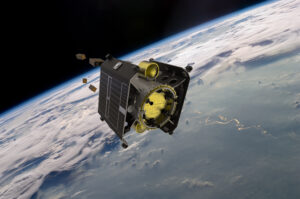
Space logistics company D-Orbit said Aug. 12 it has canceled plans to go public by merging with Breeze Holdings Acquisition Corp, a special purpose acquisition company (SPAC).
The post D-Orbit cancels SPAC merger plan appeared first on SpaceNews.
SpaceX gets $1.9 million Air Force contract for Starlink services in Europe and Africa
Monday, 15 August 2022 14:29
The U.S. Air Force Special Operations Command awarded SpaceX a $1.9 million one-year contract to provide Starlink internet services in Europe and Africa starting this month.
The post SpaceX gets $1.9 million Air Force contract for Starlink services in Europe and Africa appeared first on SpaceNews.
The new generation of Starlink satellites remain above the accepted brightness threshold
Monday, 15 August 2022 12:33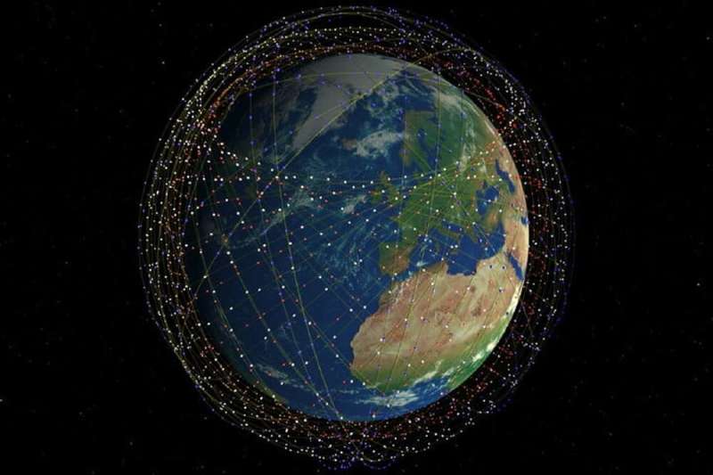
It's one of the stranger sights of the modern Space Age. Recently, we found ourselves under the relatively dark skies of southern Spain. Sure enough, within a few minutes, we caught sight of a chain of flashing "stars" winking in and out of view in quick succession.
Starlink trains are now a familiar sight, the boon and bane of the modern era. While SpaceX's mega-satellite promises to become a true disruptor in the worldwide internet game, it also has the potential to add to the burden of light pollution in the night sky. Will there soon come a time in the not-too-distant future when moving artificial "stars" outnumber real ones?
The rise of Starlink
The problem for astronomers didn't really become apparent until the first launch of 60 Starlink satellites in May 2019. To date, SpaceX has launched Starlink batches at a breakneck pace, with over 2,900 total deployed and 2,286 still in orbit and in service as of early August 2022.
Iran seeks 3 more Khayyam satellites
Monday, 15 August 2022 09:32 Iran plans to commission three more versions of a satellite launched this week by Russia, Tehran's government spokesman said Friday.
The Khayyam blasted into orbit on Tuesday, prompting US accusations that it is intended for spying. Iran dismissed Washington's claim as "childish."
"The construction of three other Khayyam satellites with the participation of Iranian scientists is on the g
 Pitt is the only university in the U.S. with this giant 3D printer for metal
Monday, 15 August 2022 09:32 Tucked away in the sub-basement of Pitt's Benedum Hall, past the racecar parts spilling into hallways, you'll find a giant machine that looks like a cross between a car garage and the entry port of a sci-fi spaceship. It's a state-of-the-art 3D printer for metal - the first Gefertec arc605 at any university in the U.S.
For producing big, specialized metal parts, the machine is unbeatable,
 A step towards quantum gravity
Monday, 15 August 2022 09:32 In Einstein's theory of general relativity, gravity arises when a massive object distorts the fabric of spacetime the way a ball sinks into a piece of stretched cloth. Solving Einstein's equations by using quantities that apply across all space and time coordinates could enable physicists to eventually find their 'white whale': a quantum theory of gravity.
In a new article in EPJ Historica
 Matter at extreme temperature and pressure turns out to be remarkably simple and universal
Monday, 15 August 2022 09:32 Scientists at Queen Mary University of London have made two discoveries about the behaviour of 'supercritical matter' - matter at the critical point where the differences between liquids and gases seemingly disappear.
Previously, while the behaviour of matter at reasonably low temperature and pressure was well understood, the picture of matter at high temperature and pressure was blurred.
 Software-defined satellite enters commercial service
Monday, 15 August 2022 06:49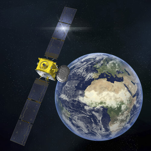
Europe’s first commercial satellite capable of being completely reprogrammed while in space is now in commercial use.
All systems go in Houston as NASA prepares return to Moon
Monday, 15 August 2022 06:40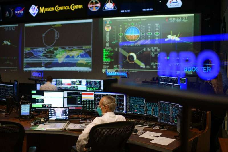
Rick LaBrode has worked at NASA for 37 years, but he says the American quest to return to the Moon is by far the crowning moment of his career.
LaBrode is the lead flight director for Artemis 1, set to take off later this month—the first time a capsule that can carry humans will be sent to the Moon since the last Apollo mission in 1972.
"This is more exciting than really anything I've ever been a part of," LaBrode told journalists at the US space agency's Mission Control Center in Houston, Texas.
Smallsat’s supply chain woes
Sunday, 14 August 2022 22:22
How pandemic and war dealt a double whammy to a supply chain already struggling to keep up.
The post Smallsat’s supply chain woes appeared first on SpaceNews.
Virgin Orbit reduces launch forecast while increasing per-launch revenue
Sunday, 14 August 2022 21:39
Virgin Orbit now expects to perform four launches this year, at the low end of earlier projections, but with a higher per-launch revenue.
The post Virgin Orbit reduces launch forecast while increasing per-launch revenue appeared first on SpaceNews.
Op-ed | Why a ‘hybrid’ space architecture makes sense for economic and national security
Sunday, 14 August 2022 20:00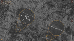
Once-in-a-generation advances in commercial technology will fundamentally strengthen the U.S. economic and security posture in space
The post Op-ed | Why a ‘hybrid’ space architecture makes sense for economic and national security appeared first on SpaceNews.
NASA seeks student ideas for extracting, forging metal on the Moon
Sunday, 14 August 2022 11:40 NASA's 2023 annual Breakthrough, Innovative and Game-Changing (BIG) Idea Challenge asks university students to design a metal production pipeline on the Moon - from extracting metal from lunar minerals to creating structures and tools. The ability to extract metal and build needed infrastructure on the Moon advances the Artemis Program goal of a sustained human presence on the lunar surface.
 Shenzhou XIV astronauts to conduct their first spacewalk in coming days
Sunday, 14 August 2022 11:40 China's Shenzhou XIV astronauts will conduct extravehicular activities (EVAs) for the first time in the next few days, China Media Group reported on Saturday.
The three-member crew has been working and living in orbit for 70 days since they were sent into space onboard the Shenzhou XIV spaceship and entered China's space station.
The combination of China's space station is currently
 NASA explains strange stringy object photographed by Perseverance rover
Sunday, 14 August 2022 11:40 One photo taken recently by NASA's Perseverance rover on Mars showed an unusual noodle-like object lying on the surface of the Red Planet, but scientists have an explanation.
The photo was taken on July 12 and depicted what looked like a tangled web of string in the lower right corner. The image led some to question what the object is, particularly when a photo taken four days later rev
