
Copernical Team
US firm sees 'exciting' moment as space tourism booms
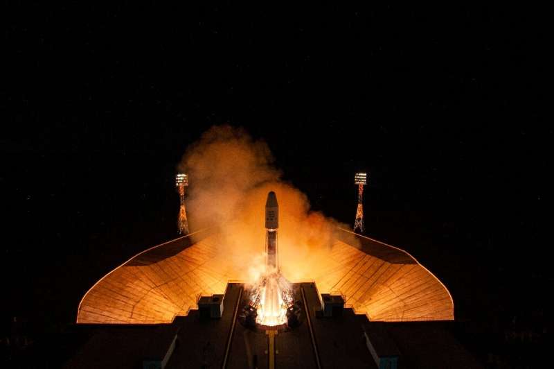
As competition in the space tourism industry heats up, a US-based firm said Friday it was excited to re-enter the sector with the upcoming launch of a Japanese billionaire.
Space Adventures, headed by Tom Shelley, is set in December to send Japanese tycoon Yusaku Maezawa to the International Space Station (ISS) from the Russia-leased Baikonur Cosmodrome in Kazakhstan.
It's the company's first launch in over a decade after suspending trips to the ISS as NASA bought up seats on Russia-operated flights and no other vehicles were available.
"It's a very exciting time for us," Shelley, 48, the president of Space Adventures, told AFP during an interview in Moscow on Friday.
He added that Space Adventures with Russia was planning future launches "to innovate and find new offerings" for clients.
Ariane 6 development: progress on all fronts
 Video:
00:05:15
These are exciting days at Europe’s Spaceport in French Guiana and throughout several sites in ESA Member States as the development of Ariane 6 enters its final phase. Ariane 6 parts are being shipped from Europe for combined tests on the new Ariane 6 launch base. These tests rehearse all activities and systems involving the rocket and launch base on an Ariane 6 launch campaign. On the final test, the Ariane 6 core stage will perform a static hot firing while standing on its recently inaugurated launch pad. It will be from this new launch base that ESA’s
Week in images: 11 - 15 October 2021
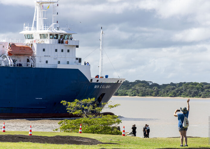
Week in images: 11 - 15 October 2021
Discover our week through the lens
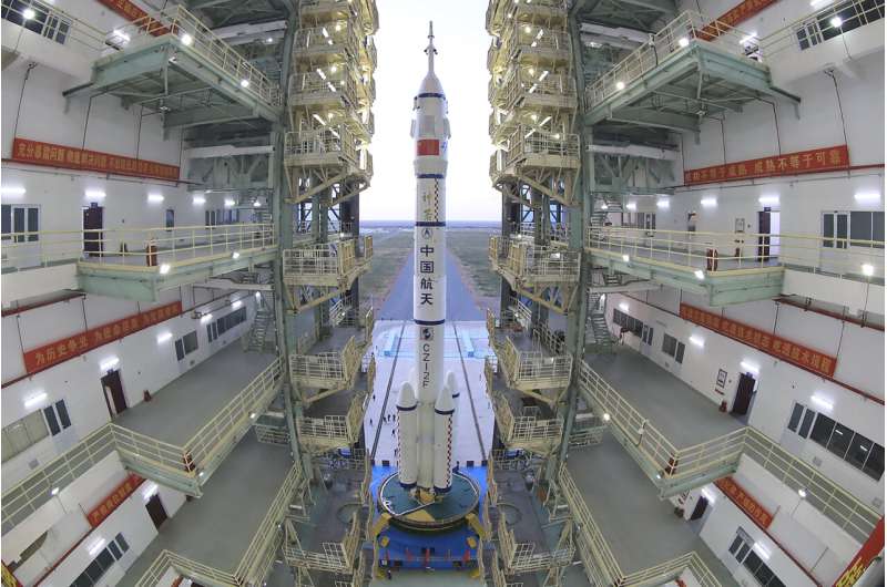
With latest mission, China renews space cooperation vow
A first for search and rescue from space
Between September 1982 and December 2020, at least 51 512 people were rescued on land and at sea with help from a network of Earth-orbiting satellites able to detect and locate emergency distress beacons.
Earth from Space: New Delhi
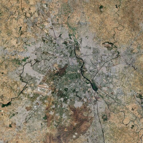
New Delhi, the capital and second-largest city of India, is featured in this image captured by the Copernicus Sentinel-2 mission.
BepiColombo’s first tastes of Mercury science

The magnetic and particle environment around Mercury was sampled by BepiColombo for the first time during the mission’s close flyby of the planet at 199 km on 1-2 October 2021, while the huge gravitational pull of the planet was felt by its accelerometers.
The magnetic and accelerometer data have been converted into sound files and presented here for the first time. They capture the ‘sound’ of the solar wind as it bombards a planet close to the Sun, the flexing of the spacecraft as it responded to the change in temperature as it flew from the night to dayside of the planet,
Macron announces 30-billion-euro plan to re-industrialise France
 President Emmanuel Macron on Tuesday announced a plan worth 30 billion euros ($35 billion) to re-industrialise France on the basis of innovative and green-friendly technologies including electric cars, hydrogen fuel and efficient nuclear plants.
Six months before a presidential election and one month ahead of a UN climate summit, Macron said France had taken key decisions "15-20 years later
 SpaceX will debut new Dragon capsule for upcoming crew launch
 SpaceX will debut a new Crew Dragon capsule, the company's third to carry astronauts, for the Crew 3 mission to the International Space Station on Oct. 30, Elon Musk's company said Wednesday.
"Crew 3 will be flying on a new Dragon spacecraft and it's really exciting to introduce another Crew Dragon to our fleet," Sarah Walker, SpaceX director of Dragon mission management, said in a news
 Blue Origin launches William Shatner, TV's Captain Kirk, into space and back
 Star Trek actor William Shatner went boldly into space Wednesday morning and returned safely with three crew members aboard a Blue Origin capsule launched from West Texas.
Shatner, 90, becomes the oldest person ever to reach space. The New Shepard rocket that carried the crew lifted off into a mostly sunny sky at 10:50 a.m. EDT from the company's Launch Site One about 160 miles east of
