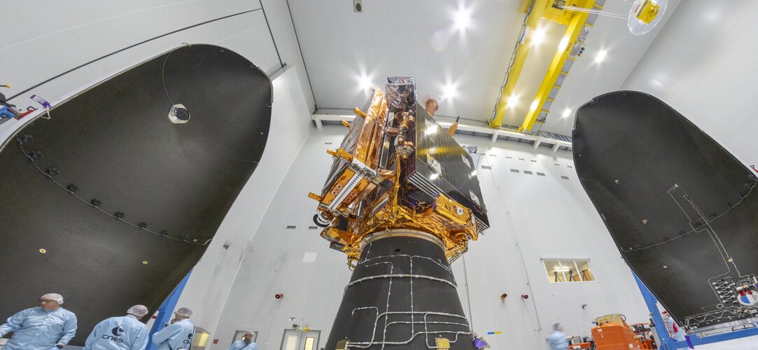
The Copernicus Sentinel-1 mission provides all-weather, day-and-night radar imagery for the global monitoring of Earth’s land and oceans. The mission and data support critical areas such as environmental management, disaster response and climate change research.
Sentinel-1 data contributes to numerous Copernicus services and applications, including Arctic sea-ice monitoring, iceberg tracking, routine sea-ice mapping and glacier-velocity measurements. It also plays a vital role in marine surveillance, such as oil-spill detection, ship tracking for maritime security and monitoring illegal fishing activities.
Additionally, it is widely used for observing ground deformation caused by subsidence, earthquakes and volcanic activity, as well as for mapping forests, water and soil resources. The mission is crucial in supporting humanitarian aid and responding to crises worldwide.
The Sentinel-1 series began with Sentinel-1A, launched in April 2014, followed by Sentinel-1B in 2016. Each satellite is equipped with a C-band synthetic-aperture radar (SAR) instrument which operates in four modes and provides a spatial resolution down to 5 m and a swath of up to 410 km.
Although Sentinel-1B was retired in 2022 due to an electrical failure, Sentinel-1A remains fully operational, and has far exceeded its life expectancy of seven years.
The upcoming launch of Sentinel-1C will restore the mission to its full strength as a two-satellite constellation.
Once in orbit, Sentinel-1C will continue the mission’s legacy, providing high-quality radar imagery to support scientific research and a wide range of applications. Notably, it introduces enhanced capabilities for monitoring maritime traffic, further expanding the mission’s utility.
In today's article, we explore the diverse range of applications for Copernicus Sentinel-1 data.


