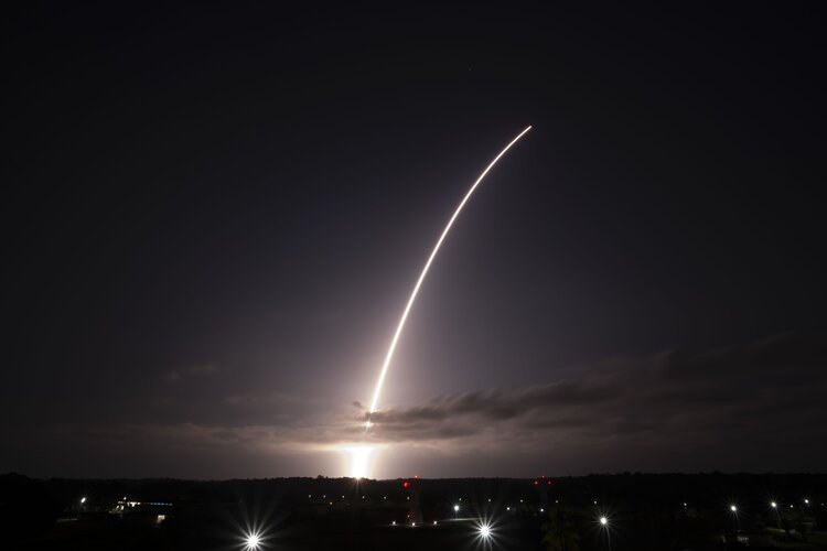
The current Sentinel-2 satellites each carry a high-resolution multispectral imager that generates optical images in the visible, near-infrared and shortwave-infrared part of the electromagnetic spectrum. From their altitude of 786 km, they provide continuous imagery in 13 spectral bands with resolutions of 10 m, 20 m and 60 m, with a large swath width of 290 km.
Sentinel-2 data are currently being used for a broad range of applications, including agriculture, water quality monitoring, natural disaster management, including wildfires, volcanic eruptions and floods. The mission has surpassed its original expectations, for example, by demonstrating its ability in detecting methane emissions.
For agriculture, the mission helps to monitor crop health, predict yields and enable precision farming. Images are used to detect crop type, and to determine biophysical variables such as leaf area index, leaf chlorophyll content and leaf water content to monitor plant growth and health.
The Sentinel-2 mission is the result of close collaboration between ESA, the European Commission, industry, service providers and data users.
ESA develops, builds, launches and operates the satellites in orbit, and downloads the scientific data.
Sentinel-2 data are freely available via the Copernicus Data Space Ecosystem, providing instant access to a wide range of data from both the Copernicus Sentinel missions and the Copernicus Contributing Missions.
The Sentinel-2 satellites have been designed and built by a consortium of around 60 companies led by Airbus Defence and Space.
The Copernicus component of the EU Space Programme is supported by a set of dedicated satellites, known as the Sentinel family, and contributing missions (existing commercial and public satellites). Looking to the future, six Sentinel Expansion missions and four Next Generation Sentinels are being developed to address EU policy and gaps in Copernicus user needs.


