

 Image:
Before and after satellite images from the Copernicus Sentinel-1 mission show the scale of the oil spill that occurred off the shores of Trinidad and Tobago’s coastline earlier this week.
Image:
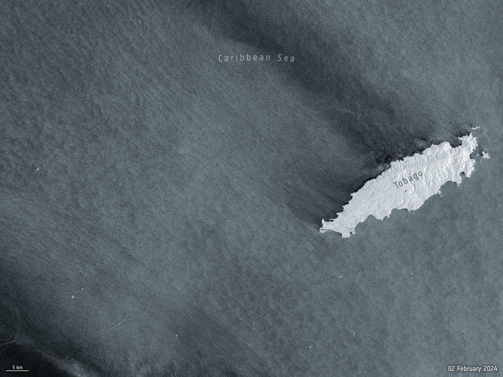
Before and after satellite images from the Copernicus Sentinel-1 mission show the scale of the oil spill that occurred off the shores of Trinidad and Tobago’s coastline earlier this week. Before and after satellite images from the Copernicus Sentinel-1 mission show the scale of the oil spill that occurred off the shores of Trinidad and Tobago’s coastline earlier this week. The ship, identified as The Gulfstream, ran aground and overturned off the southern shores of Tobago Island.
The final image of the animation, captured on 14 February at 23:18 CET (22:18 UTC), shows the oil spill has travelled over 160 km westwards. The spill is moving out of Trinidad and Tobago’s marine area and into Grenada’s southernmost marine area – which could affect neighbouring Venezuela.
Satellite radar is particularly useful for monitoring the progression of oil spills because the presence of oil on the sea surface dampens down wave motion. Since radar basically measures surface texture, oil slicks show up well – as black smears on a grey background.
Copernicus Sentinel data are being used for the International Charter Space and Major Disasters activation requested by national authorities (Office of Disaster Preparedness and Management) who are coordinating satellite imagery to facilitate the timely and effective monitoring to mitigate environmental impact.