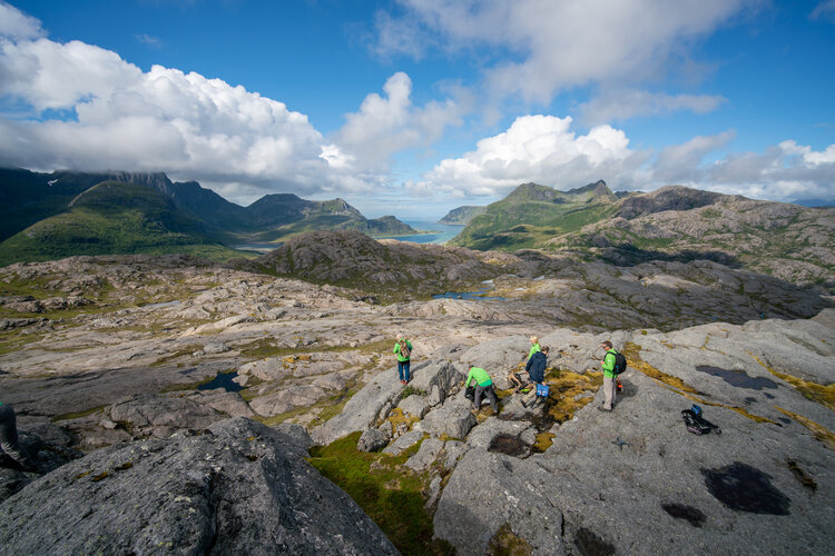
Alexander and Samantha will use detailed maps and satellite multispectral images, or what experts call remote sensing geology, to plan their expedition. “Future missions to the Moon will make use of this technology to decide where astronauts will land and explore,” says planetary geologist and PANGAEA instructor Riccardo Pozzobon.
In the field, astronauts will rely on a customised app, the Electronic Field Book, to document their scientific findings.


