


Access the video
It can be used by entities such as the UN Food and Agriculture Organisation (FAO), who will be able to access the crop-specific information to fill gaps in their agricultural statistics. The data can show countries where the areas of maize and cereal have been estimated and to aid country reporting activities.
José Rosero Moncayo, Director of the Statistics Division at FAO, comments, “In a world where we still have data gaps at country level in fundamental areas of agricultural statistics such as area planted and agricultural production, FAO see the products generated by the WorldCereal project with great excitement.
Data quality and timeliness are crucial to foster evidence-based decision-making. We look forward to integrate this innovative, dynamic system in support of country reporting processes on crops, irrigation and land use statistics alike.”
Other users of the system would include global, regional and national agricultural monitoring bodies, national entities involved in SDG reporting, other UN organisations such as the World Food Programme, insurance companies and the private sector, among others.
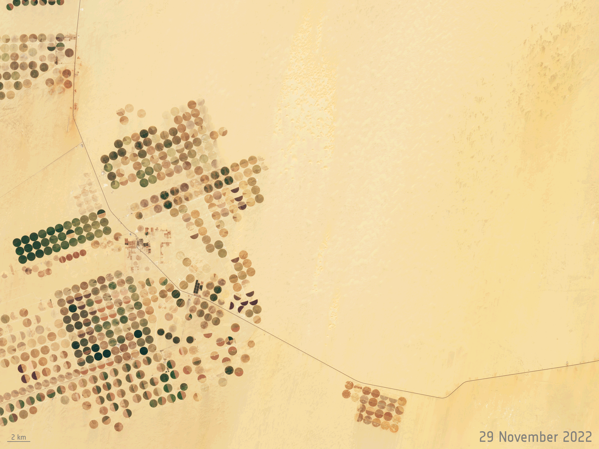
The WorldCereal system utilises open and free data from the Copernicus Sentinel satellites, including Sentinel-1 and Sentinel-2, as well as data from the USGS’ Landsat satellites, combined with meteorological and in situ data.
The system takes advantage of the high-spatial and temporal resolution of satellite imagery and demonstrates how open-source Earth observation data can help to achieve food security.
Zoltan Szantoi, Land Application Scientist at ESA, explains: “The WorldCereal system is not just a demonstration of the power of integrating remote sensing, machine learning and large amounts of data. Rather, it represents a step towards realising the timely provision of agricultural production and yield estimates, critical for food security planning.”