"ESA's Lunar Pathfinder mission will help verify the performance of new lunar navigation techniques in development at NASA," said JJ Miller, Deputy Director of Policy and Strategic Communications for NASA's Space Communications and Navigation (SCaN) program at NASA Headquarters in Washington. "This project is built on the long collaboration between NASA and ESA within the International Committee on Global Navigation Satellite Systems (ICG), a UN forum that focuses on ensuring interoperability amongst GNSS service providers"
Global Navigation Satellite Systems (GNSS) are the satellite constellations commonly used for position, navigation, and timing services on Earth. GPS—the GNSS constellation operated by the U.S. Space Force—is the one many Americans are familiar with and use on a daily basis.
The Lunar Pathfinder spacecraft will host a device testing GNSS capabilities used by many to navigate on Earth, to navigate in lunar orbit. The instrument, NaviMoon, will receive signals from GPS, the U.S. GNSS constellation, and Galileo, the European GNSS constellation.

Missions at high altitudes, like Lunar Pathfinder at the moon, receive GNSS signals that spill past Earth's edge from GNSS satellites on the opposite side of the planet. NASA has navigated with these faint signals as far as halfway to the moon and plans to do so on the lunar surface with an upcoming Commercial Lunar Payload Services delivery awarded to Firefly Aerospace of Cedar Park, Texas. The lander will deliver an experimental payload, the Lunar GNSS Receiver Experiment (LuGRE), developed in partnership with the Italian Space Agency (ASI).
"Lunar Pathfinder and LuGRE are both taking important steps toward making operational GNSS use at the moon a reality," said Joel Parker, LuGRE principal investigator at NASA Goddard. "By validating weak-signal GNSS for future lunar missions, we'll provide new onboard, real-time navigation capabilities at and around the moon using existing systems and technology."
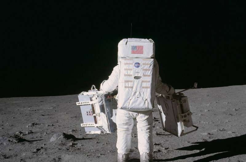
Bouncing lasers off Lunar Pathfinder's retroreflectors, engineers can validate the performance of GNSS at extreme distances. Confirming the performance of weak-signal GNSS receivers against tried and true laser ranging techniques will help missions embrace lunar GNSS navigation operationally.
"Satellite laser ranging is one of the most accurate methods we have for measuring the distance between a spacecraft and Earth," said A.J. Oria, SCaN GNSS expert at NASA Headquarters. "It provides an excellent reference to show how effective newer methods like weak-signal GNSS are in determining spacecraft position."

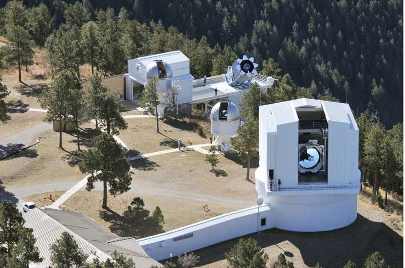
A laser retroreflector is a special kind of mirror that bounces laser light back towards its source, unlike a normal mirror that bounces the light off at an angle. In satellite laser ranging, a laser transmitted from a telescope on Earth reaches a retroreflector on a spacecraft or celestial body and the retroreflector bounces the light back to the telescope.
By measuring the time a laser pulse leaves the telescope and the time the return pulse arrives, engineers and scientists can calculate precise distances between the object and a ground station. Laser ranging is more accurate than similar methods using radio waves because the wavelength of the laser light is much shorter.
"To validate performance of weak GNSS signals: if all you have is ground radio tracking data, you're basically comparing one radio technique to another radio technique. You're not going to get any kind of precision," said Stephen Merkowitz, Space Geodesy Project manager at NASA Goddard. "Adding laser ranging, you've got a technique that's incredibly precise and has been independently verified over the past 50 years."


