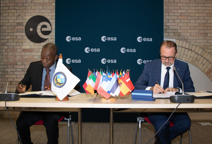
ASECNA provides air navigation services within an airspace of 16.5 million sq. km, divided into six flight information regions covering its Member States Benin, Burkina Faso, Cameroon, Central African Republic, Comoros, Congo, Côte d’Ivoire, France, Gabon, Guinea Bissau, Equatorial Guinea, Madagascar, Mali, Mauritania, Niger, Senegal, Chad and Togo.
EGNOS, the European Geostationary Navigation Overlay Service sharpens the accuracy of GPS signals over European territory up to metre-scale precision while also giving a real-time‘integrity’ – or reliability – level of the signals and of the final corrected position thanks to EGNOS. The current EGNOS system relies only on US GPS signals but an updated version is being prepared for implementation later this decade (by 2028) – EGNOS v3 – which will also utilise Galileo signals, further increasing its accuracy and robustness. Moreover, this second generation will also provide an increased level of resilience to security (in particular cyber security) threats.


