IEEE Xplore
Agricultural Sandbox NL: a crop parcel level database using Sentinel-1 SAR and Google Earth Engine
| Space News |

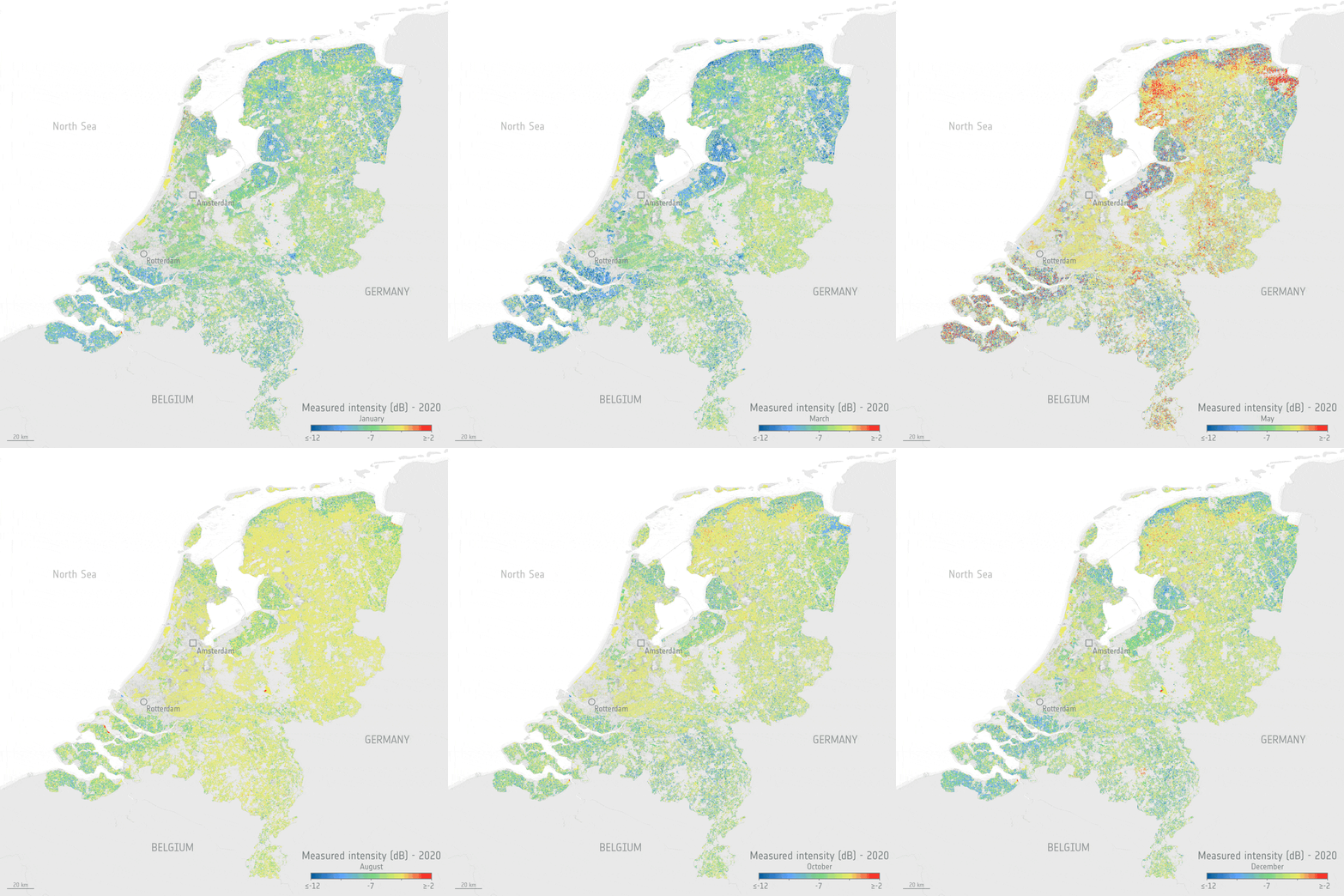
The Copernicus Sentinel satellite missions measure and image our planet in different ways to return a wealth of complementary information so that we can understand and track how our world is changing, and how to better manage our environment and resources. Thanks to the benefits of different types of data from two particular Copernicus Sentinel missions and an ingenious new dataset tool, people working in the agriculture sector, but who are not satellite data experts, can monitor the health and development of crops, right down to each crop in individual fields.
Agricultural Sandbox NL: a crop parcel level database using Sentinel-1 SAR and Google Earth Engine