...the who's who,
and the what's what 
of the space industry

Space Careers

news Space News

Search News Archive

Title

Article text

Keyword

  • Home
  • News
  • Ten years of safer skies with Europe’s other satnav system

Ten years of safer skies with Europe’s other satnav system

Written by  Tuesday, 16 March 2021 10:02
Write a comment
EGNOS for aircraft landings

With 26 satellites in orbit and more than two billion receivers in use, Europe’s Galileo satellite navigation system has made a massive impact. But our continent has another satnav system that has been providing safety-of-life services for ten years now – chances are that you’ve benefited from it without noticing.

EGNOS-equipped cockpit

ESA designed EGNOS as the European equivalent of the US WAAS, Wide Area Augmentation System, working closely with the European air traffic management agency Eurocontrol, passing it to the European GNSS Agency, GSA, to run operationally.

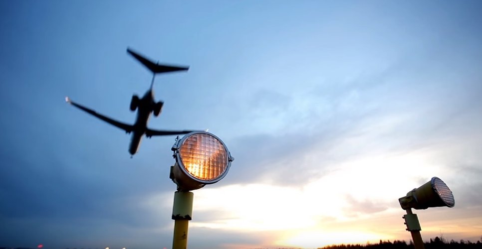
Guiding airliners down

First and foremost its primary customer is aircraft. Imagine an airliner coming into land at Charles de Gaulle, or another major European airport, in bad weather. The pilots cannot see their runway through clouds and rain, but without needing any guidance from the ground they can still confidently descend all the way down to just 60 metres’ altitude before needing to make visual contact with the tarmac – thanks to EGNOS.


Read more from original source...

You must login to post a comment.
Loading comment... The comment will be refreshed after 00:00.

Be the first to comment.

Interested in Space?

Hit the buttons below to follow us...