
IEEE Xplore
Time-Series of Sentinel-1 Interferometric Coherence and Backscatter for Crop-Type Mapping
![]()
...the who's who,
and the what's what
of the space industry
| Space News |
 increase font size
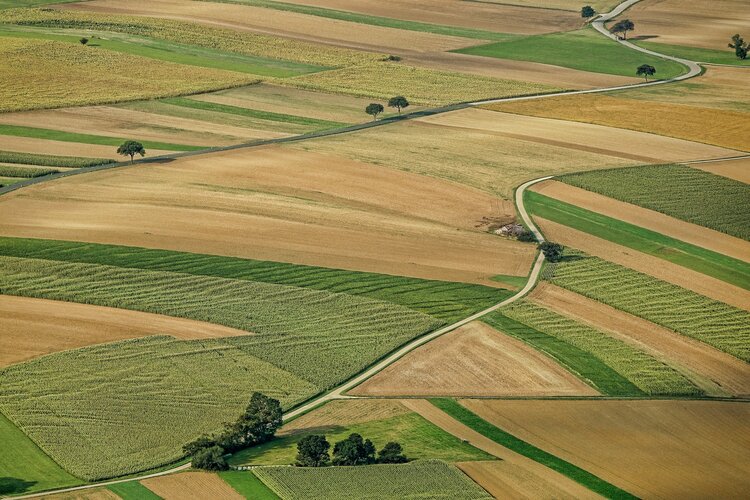
Traditionally, optical, or ‘camera-like’, satellite images are used to map different crops from space, but a recent study shows that Copernicus Sentinel-1 radar data along with interferometric processing can make crop-type mapping even better. This, in turn, will help improve crop-yield forecasts, production statistics, drought and storm damage assessments, and more.
Time-Series of Sentinel-1 Interferometric Coherence and Backscatter for Crop-Type Mapping