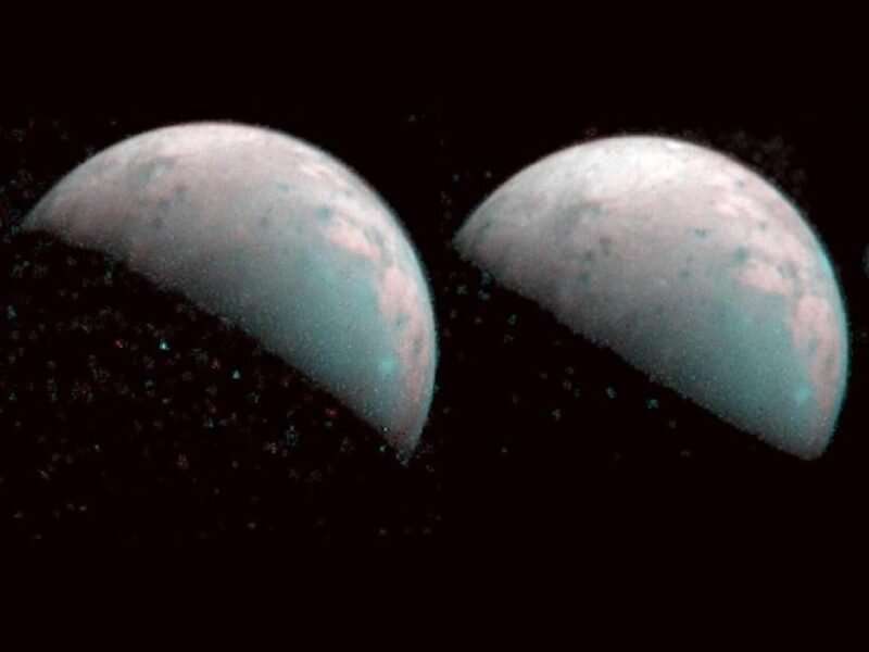
On 26 December 2019, Juno passed Ganymede at a distance of about 100,000 kilometers, enabling JIRAM to map this region at a spatial resolution of up to 23 kilometers per pixel.
As Juno flies past Ganymede, the spacecraft can observe physical locations on the moon's surface from a variety of angles. By comparing the brightness of these regions across a range of observation and illumination geometries, the authors developed a photometric model for Ganymede's surface reflectance. They observed that wavelength-dependent reflectance relationships sometimes break down in the vicinity of relatively fresh craters, perhaps because of a larger average size of ice grains in these regions.
Combining their model with spectral observations of the 2-micrometer water ice absorption band allowed the authors to map the distribution of water ice in the north polar region. Where these estimates overlapped with maps derived from Earth-based telescopic observations, the researchers found largely good agreement. This congruence enabled them to extend the global water ice map for Ganymede to much more northerly latitudes.
Observations in other spectral bands also revealed the presence of nonwater chemical species on the surface of Ganymede, including possible detections of hydrated magnesium salts, ammonia, carbon dioxide, and a range of organic molecules.
This story is republished courtesy of AGU Eos (https://eos.org/). Read the original story here.


