Copernical Team
Proposed mission could encounter and explore a future interstellar comet like 3I/ATLAS up close
This request seems a bit unusual, so we need to confirm that you're human. Please press and hold the button until it turns completely green. Thank you for your cooperation!
Press and hold the button
If you believe this is an error, please contact our support team.
185.132.36.159 : bfbfe20e-6eb5-4c30-ab6a-c14c321f
SpaceX gets FAA approval to jack up Cape Canaveral's Falcon 9 launches from 50 to 120
This request seems a bit unusual, so we need to confirm that you're human. Please press and hold the button until it turns completely green. Thank you for your cooperation!
Press and hold the button
If you believe this is an error, please contact our support team.
185.132.36.159 : c60dfdad-d8c9-463c-9e55-e95fe6dc
Spaceflight accelerates human stem cell aging, researchers find
This request seems a bit unusual, so we need to confirm that you're human. Please press and hold the button until it turns completely green. Thank you for your cooperation!
Press and hold the button
If you believe this is an error, please contact our support team.
185.132.36.159 : 416c2452-252c-4ef3-b24a-03cd9612
Ireland's first satellite EIRSAT-1 completes its mission
This request seems a bit unusual, so we need to confirm that you're human. Please press and hold the button until it turns completely green. Thank you for your cooperation!
Press and hold the button
If you believe this is an error, please contact our support team.
185.132.36.159 : 728649bc-3361-4a5d-a218-4fdcacdb
Asia will get a prime view of this weekend's total lunar eclipse
This request seems a bit unusual, so we need to confirm that you're human. Please press and hold the button until it turns completely green. Thank you for your cooperation!
Press and hold the button
If you believe this is an error, please contact our support team.
185.132.36.159 : 82b796bd-f8ca-448f-a66d-1e4baf6e
'Blood Moon' rises during total lunar eclipse
This request seems a bit unusual, so we need to confirm that you're human. Please press and hold the button until it turns completely green. Thank you for your cooperation!
Press and hold the button
If you believe this is an error, please contact our support team.
185.132.36.159 : 2e149b3e-28e6-407a-82b0-8ee1a5d4
Earth has an outer space treaty, but is it time for an orbital activity treaty?
This request seems a bit unusual, so we need to confirm that you're human. Please press and hold the button until it turns completely green. Thank you for your cooperation!
Press and hold the button
If you believe this is an error, please contact our support team.
185.132.36.159 : 74a4979d-df0f-4cd0-97e8-cbb63342
Plasma propulsion system could help remove space debris without contact
This request seems a bit unusual, so we need to confirm that you're human. Please press and hold the button until it turns completely green. Thank you for your cooperation!
Press and hold the button
If you believe this is an error, please contact our support team.
185.132.36.159 : 0543127d-ef0b-4b78-80a8-384da238
Is space worth the cost? Accounting experts say its value can't be found in spreadsheets
This request seems a bit unusual, so we need to confirm that you're human. Please press and hold the button until it turns completely green. Thank you for your cooperation!
Press and hold the button
If you believe this is an error, please contact our support team.
185.132.36.159 : 611f97a9-f83b-4020-8a00-47482066
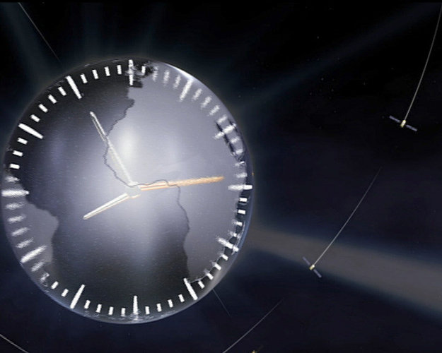
ESA deploys new fully European ground-based atomic clock

As part of an effort coordinated by the European Space Agency (ESA), Safran has released the first ultra-precise active hydrogen maser technology, entirely developed and designed in Europe.
This core sovereign capability has recently been deployed at one of ESA’s deep-space ground stations and is being tested under real, operational conditions.
