Copernical Team
Developing the low-energy ion spectrometer for the Chinese BeiDou-3 satellite

In our daily lives, we rely on weather forecasts to know whether it will rain tomorrow. The monitoring and prediction of space weather such as geomagnetic storms and substorms are also vital for the operation safety of satellites outside the atmosphere and the living conditions of astronauts in space. However, space weather is far more unpredictable than the weather on Earth, which depends on in-situ measurements of plasma parameters by satellites.
A research team, led by Prof. Wang Yuming and Prof. Shan Xu from the University of Science and Technology of China (USTC) of the Chinese Academy of Sciences, developed a low-energy ion spectrometer (LEIS) onboard a Chinese geosynchronous satellite, the BeiDou-3 satellite.
The LEIS is designed for measurement of the ion energy per charge distribution with good energy-, angular-, and temporal-resolutions, which is helpful for space weather monitoring and early warning. Recently, the scientific data acquired by the LEIS were published in Science China Technological Sciences.
Starting in 2012, the research team designed and realized the LEIS payload that meets the requirements of a magnetospheric mission. Through simulation and experimental tests, the LEIS payload had been valuated and calibrated, and it was finally finished in 2017.
Japanese company aims to put first private lander on Moon, with UAE rover on board

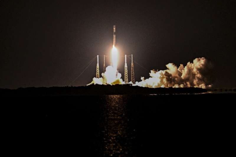
SpaceX is set Wednesday to launch the first private—and Japanese—lander to the Moon.
A Falcon 9 rocket is scheduled to blast off at 3:39 am (0839 GMT) from Cape Canaveral, Florida, with a backup date on Thursday.
Until now, only the United States, Russia and China have managed to put a robot on the lunar surface.
The mission, by Japanese company ispace, is the first of a program called Hakuto-R.
The lander would touch down around April 2023 on the visible side of the Moon, in the Atlas crater, according to a company statement.
Measuring just over 2 by 2.5 meters, it carries on board a 10-kilogram rover named Rashid, built by the United Arab Emirates.
Simple semiconductor solutions could boost solar energy generation and enable better space probes
 A 'simple' tweak to perovskite solar cells during the fabrication stage could help to unlock the untold potential of the renewable energy source, claims research from the University of Surrey.
Surrey's Advanced Technology Institute (ATI) has demonstrated that by precisely controlling the fabrication process, it is possible to regulate and reduce unwanted energy loss in perovskite solar pan
 China launches crewed mission to Tiangong space station
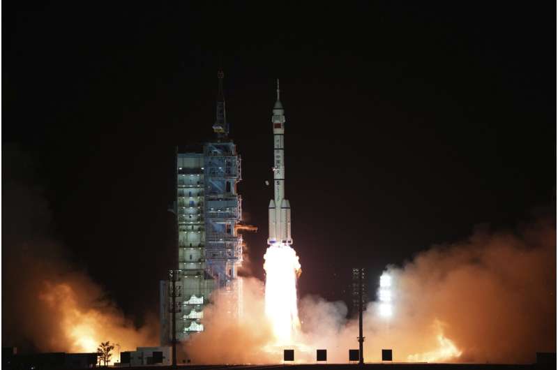
 China launched the Shenzhou-15 spacecraft on Tuesday carrying three astronauts to its space station, where they will complete the country's first-ever crew handover in orbit, state news agency Xinhua reported.
The trio blasted off in a Long March-2F rocket at 11:08 pm (1508 GMT) from the Jiuquan launch centre in northwestern China's Gobi desert, Xinhua said, citing the China Manned Space A
 ESA ground stations to support first commercial Moon landing
China launches 3 astronauts to complete space station

China launched a rocket Tuesday carrying three astronauts to complete construction of the country's permanent orbiting space station, during which they will expand the facility to its maximum capacity of six crew aboard.
Media invitation: Meteosat Third Generation Imager-1 launch

Media invitation: Meteosat Third Generation Imager-1 launch
NASA satellite precipitation data combined with Air Force weather system
 Rain gauges are plentiful around the United States, but that's not the case elsewhere in the world - particularly over oceans and sparsely populated areas. That means scientists and other data users have to rely on satellite measurements - such as those provided by NASA's Global Precipitation Measurement (GPM) mission - to fill in the gaps.
The list of data users now includes the U.S. Air
 NASA looks for a new twist on sustainable aviation
 For a team of NASA and industry researchers seeking to make aviation more sustainable, it's all about the twist.
No, we're not thinking of Chubby Checker and his signature song and dance. Instead, the focus here is on metal alloys whose molecules literally change shape when exposed to a certain temperature range.
"It doesn't bend out of shape. It doesn't extend. It doesn't shrink. It
 USC works with Polaris Dawn to study in-flight space medicine
 Today's spaceflights typically last a few days to a few months, so onboard medical treatment is mostly limited to first aid. But researchers are increasingly exploring new terrain-known as in-flight space medicine-that will be critical for maintaining astronauts' health during longer missions, such as the 21-month roundtrip to Mars.
Polaris Dawn, the first of three missions in the Polaris
