Copernical Team
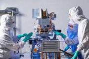
RadCube reaches out
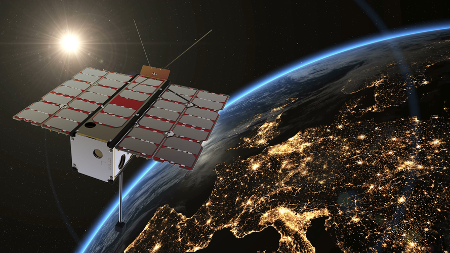 Image:
RadCube reaches out
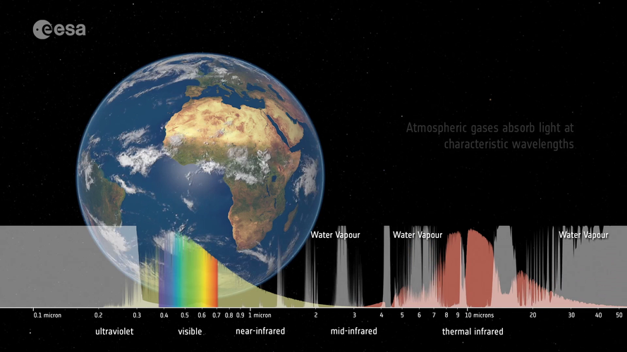
 Tuning in to Earth’s climate
 Video:
00:03:28
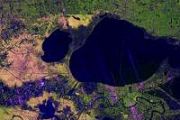
Satellites observe the Earth using a range of wavelengths on the electromagnetic spectrum. Different wavelengths allow us to probe different aspects of Earth’s land, atmosphere and ocean. By sampling the electromagnetic spectrum at multiple wavelengths, we can build a more complete picture of Earth’s complex climate system.
ESA acts to protect governmental data

Keeping information secure is becoming ever more important in today’s interconnected digital world.
Innovative space data service starts to take shape

Plans to create a network of satellites that supply data from space to improve life on Earth have entered a new phase.
Spirent Offers First Commercially Available Test Capability for Galileo HAS
 Spirent Communications plc has announced the launch of the industry's first commercially available simulation test solution for the Galileo High Accuracy Service (HAS), via a beta interface implementation based on HAS ICD version 1.2. During the development of the solution, Spirent collaborated with GMV, a leader in cutting-edge GNSS high-accuracy technologies.
Galileo HAS will provide fre
 Groundbreaking Iridium Certus 100 Service Launches with Partner Products for Land, Sea, Air and Industrial IoT
 Iridium Communications reports that its Iridium Certus 100 "midband" service is now commercially available for maritime, land mobile, IoT, aviation and government customers. Iridium Certus 100 provides a unique blend of capabilities for satellite connectivity, enabling small, low-profile antennas and battery-powered devices designed for maximum mobility, but with IP data speeds that efficiently
 LEOcloud to offer space edge cloud services on Orbital Assembly Space Stations
 LEOcloud and Orbital Assembly reports it has established a partnership in which LEOcloud will enable public cloud edge computing services hosted on Orbital Assembly's Gravity Ring and Pioneer Stations.
This will enable researchers and commercial entities on board Orbital Assembly's facilities to run their services or application workloads locally in a hybrid cloud environment such as Red H
 Eagles collaborate in unique high-altitude simulation training
 The first time senior Olivia Siu experienced hypoxia - a condition caused by lack of oxygen, sometimes suffered by pilots - she thought she was functioning fairly well. She was in the High-Altitude Lab (HAL) at Embry-Riddle Aeronautical University, focusing on folding a paper boat.
Despite her low oxygen intake, her dexterity was perfect, and each crease of her creation was exact. There wa
 Ball Aerospace delivers NASA X-Ray Observatory to KSC for December launch
 NASA's Imaging X-Ray Polarimetry Explorer (IXPE), built by Ball Aerospace, safely arrived Friday at Cape Canaveral in Fla. A collaboration between Ball, NASA, and the Italian Space Agency (ASI), IXPE is an astrophysics observatory set to launch from NASA's Kennedy Space Center in December.
Once on orbit, IXPE will measure the polarization of cosmic X-rays to improve our understanding of th
 Tread lightly: 'Eggshell planets' possible around other stars
 Strange 'eggshell planets' are among the rich variety of exoplanets possible, according to a study from Washington University in St. Louis. These rocky worlds have an ultra-thin outer brittle layer and little to no topography. Such worlds are unlikely to have plate tectonics, raising questions as to their habitability.
Only a small subset of extrasolar planets are likely eggshell planets.


