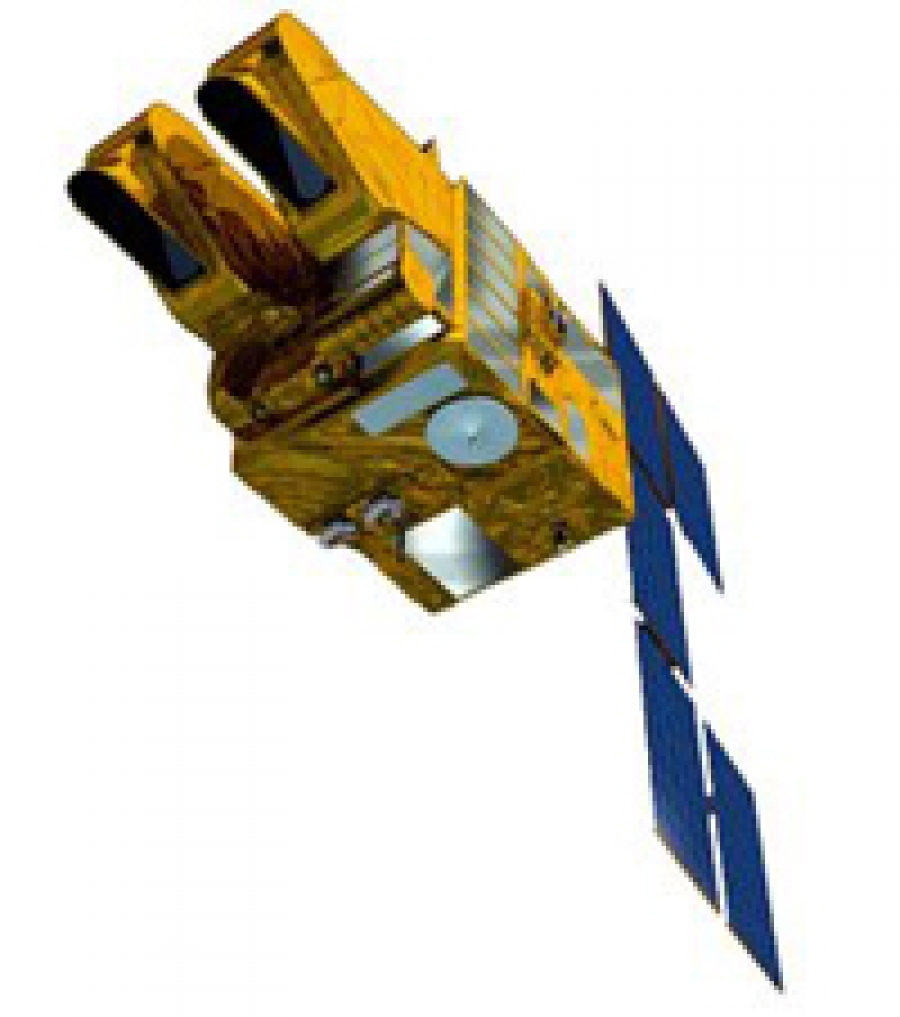
SPOT (Satellite Pour l’Observation de la Terre, lit. "Satellite for Earth Observation") is a high-resolution, optical imaging Earth observation satellite system operating from space. It is run by Spot Image based in Toulouse, France. It was initiated by the CNES (Centre national d'études spatiales — the French space agency) in the 1970s.
Tags:
Additional Info
- Project Website: www.cnes.fr/web/CNES-en/1415-spot.php
- Project Wikipedia Page: Spot
Latest from Copernical Team
- Sophie Adenot exercising on the CEVIS bike
- Upper-atmospheric lithium pollution directly linked to Falcon 9 reentry
- ESA’s 5G laboratory on wheels
- Webb maps Uranus's mysterious upper atmosphere
- Gilat wins 9 million dollar MOD deal for secure defense satcom
- AALTO plans Zephyr stratospheric hub in northern Australia and seeks local payload partners
- UK backs in orbit production of high value materials
- NRO expands commercial multi-phenomenology surveillance awards
- BlackSky expands Gen-3 assured access for international defense customer
- Airbus taps Synspective SAR radar network for expanded Earth imaging


