Copernical Team
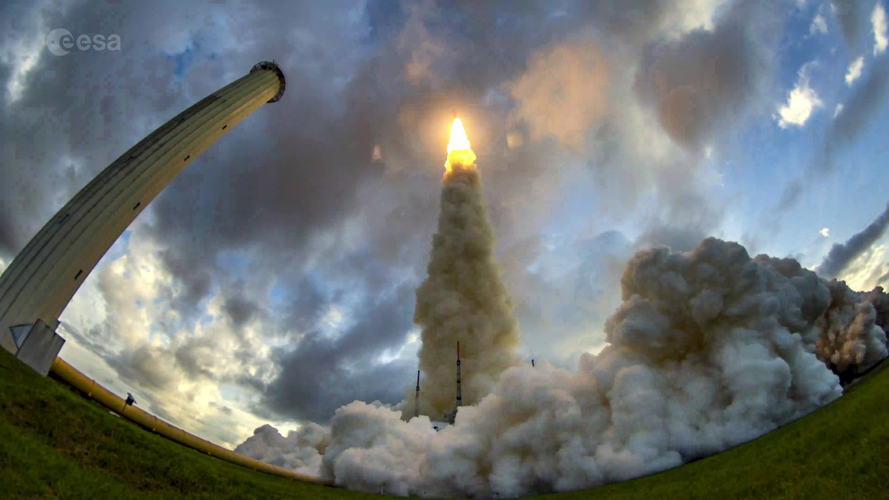
Timelapse of Eutelsat Quantum launch
 Video:
00:03:42
Experience the preparation and launch of telecommunications satellite Eutelsat Quantum by watching this unique timelapse video.
Developed under an ESA Partnership Project with satellite operator Eutelsat and prime manufacturer Airbus, Eutelsat Quantum has pioneered a new generation of satellites with the European space industry.
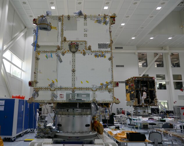
The footage was captured at the Airbus facility in Toulouse – where the satellite was assembled and tested – and Europe’s Spaceport in French Guiana.
The world’s first fully software-defined satellite – which will be used for communication in government, mobility and data markets – was launched on board an Ariane 5 on 30 July.
Following its
Anchoring single atoms
What can a young star teach us about the birth of our solar system
 The familiar star at the center of our solar system has had billions of years to mature and ultimately provide life-giving energy to us here on Earth. But a very long time ago, our sun was just a growing baby star. What did the sun look like when it was so young? That's long been a mystery that, if solved, could teach us about the formation of our solar system-so-named because sol is the Latin w
 Astronomers find new clue that heavy stars don't go supernova
 Conventional theory states that light stars like our Sun gently blow off their layers when they die, while heavy stars explode as a supernova. But for some reason, we are so far failing to find supernovae from stars heavier than eighteen solar masses. Now a team led by SRON astronomers finds a new clue that fuels this apparent mystery. Publication in Astrophysical Journal Letters.
The rese
 Chemical clues to the death of massive stars
 The Universe has countless stars, which come in different masses. The most common ones are the low-mass stars, including our Sun. Massive stars refer to those whose mass is more than eight times the mass of the Sun. The life of low-mass stars is quite long. For instance, our Sun can live for 10 billion years. However, massive stars can only live up to tens of millions of years.
Some of the
 Astronomer recruiting volunteers in effort to quadruple number of known active asteroids
 The study of active asteroids is a relatively new field of solar system science, focusing on objects that have asteroid-like orbits but look more like comets, with visual characteristics such as tails.
Because finding an active asteroid is such a rare event, fewer than 30 of these solar system bodies have been found since 1949, so there is still much for scientists to learn about them. Rou
 The case of the missing mantle
 In the early solar system, terrestrial planets like Mercury, Venus, Earth and Mars are thought to have formed from planetesimals, small early planets. These early planets grew over time, through collisions and mergers, to make them the size they are today.
The material released from these violent collisions is commonly thought to have escaped and orbited around the sun, bombarding the grow
 The forecast for Mars? Otherworldly weather predictions
 As scientists prepare for crewed research missions to nearby planets and moons, they've identified a need for something beyond rovers and rockets.
They need accurate weather forecasts. Without them, any trip to the surface may be one dust storm away from disaster.
A new Yale study helps lay the foundation for more accurate, otherworldly forecasts by taking a phenomenon related to Ear
 NASA plans yearlong Mars simulation to test limits of isolation
 NASA wants four people to test the limits of human isolation by placing them in a simulated Mars habitat for a year, cut off from the world except for delayed communication and possible simulated spacesuit walks.
The simulation, planned for Johnson Space Center in Houston, won't be the first time the space agency attempts to mimic a stay on Mars, but it will be one of the longest.
 Meteosat Third Generation takes major step towards its first launch

After many technical and programmatic challenges, the first satellite of the next generation of the Meteosat family has taken a major step towards its first flight, currently scheduled for launch in autumn 2022.
