Copernical Team
Autonomous passenger shuttle service trialled in Oxfordshire
London, UK (SPX) Dec 01, 2021 A fully autonomous passenger shuttle service begins trials on UK roads today, Science Minister George Freeman has announced. The new service is being trialled by Darwin Innovation Group, with support from the European Space Agency (ESA) and the UK Space Agency. An autonomous shuttle will transport passengers around Harwell Science and Innovation Campus in Oxfordshire, which is home to some
When variations in Earth's orbit drive biological evolution
 Coccolithophores are microscopic algae that form tiny limestone plates, called coccoliths, around their single cells. The shape and size of coccoliths varies according to the species. After their death, coccolithophores sink to the bottom of the ocean and their coccoliths accumulate in sediments, which faithfully record the detailed evolution of these organisms over geological time.
A team
 Airbus will build ESA’s Ariel exoplanet satellite

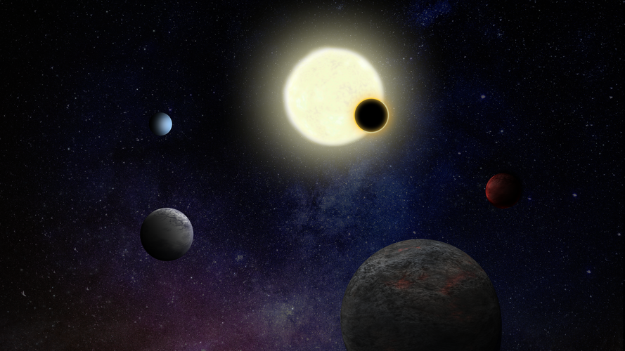
ESA and Airbus have signed a contract to move forward with the design and construction of the Atmospheric Remote-sensing Infrared Exoplanet Large-survey, Ariel, planned for launch in 2029.
Rocket flies high over Norway in scientist's atmosphere experiment

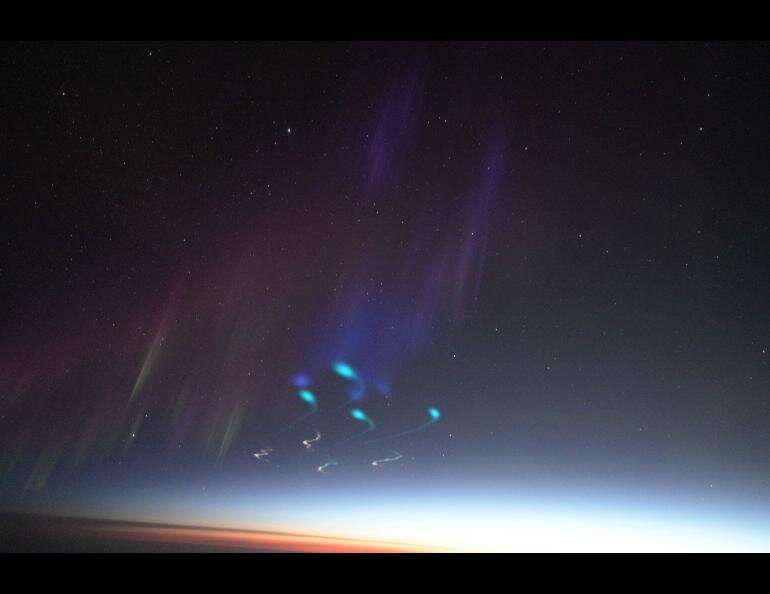
A NASA sounding rocket soared high from a launchpad in Norway on Wednesday morning in a decades-old quest to understand the cause of a persistent dense patch of upper atmosphere on Earth's sun-facing side.
The Cusp Region Experiment-2, or C-REX-2, is headed by space physicist Mark Conde of the University of Alaska Fairbanks Geophysical Institute and funded by NASA.
AST SpaceMobile provides update on BlueWalker 3 launch timing
 AST SpaceMobile, the company building the first and only space-based cellular broadband network accessible directly by standard mobile phones, has provided updated timing for the launch of its next satellite, BlueWalker 3.
As discussed on the recent Third Quarter 2021 Business Update call and disclosed in its third quarter Form 10-Q, AST SpaceMobile had been evaluating whether to rebook th
 Growing trend shows demand for maintenance students at commercial space firms
 Aviation Maintenance Science (AMS) students have been drawing attention in recent years from a new suitor: commercial space companies.
With at least 16 students from Embry-Riddle Aeronautical University's AMS program hired at SpaceX and Blue Origin within the past six years, program leaders credit a steady evolution in the aviation and aerospace sectors - namely, the commercial space boom: an i
 Evidence emerges for dark-matter free galaxies
 An international team of astronomers led by researchers from the Netherlands has found no trace of dark matter in the galaxy AGC 114905, despite taking detailed measurements over a course of fourty hours with state-of-the-art telescopes. They will present their findings in Monthly Notices of the Royal Astronomical Society.
When Pavel Mancera Pina (University of Groningen and ASTRON, the Ne
 NASA's next-generation asteroid impact monitoring system goes online
 The new system improves the capabilities of NASA JPL's Center for Near Earth Object Studies to assess the impact risk of asteroids that can come close to our planet.
To date, nearly 28,000 near-Earth asteroids (NEAs) have been found by survey telescopes that continually scan the night sky, adding new discoveries at a rate of about 3,000 per year. But as larger and more advanced survey tele
 China's manned moon landing possible before 2030: scientist
 It is "entirely possible" for China to perform a crewed lunar landing before 2030, said a senior Chinese scientist in deep-space exploration.
"I personally think that as long as the technological research for manned moon landing continues, and as long as the country is determined (to achieve the goal), it is entirely possible for China to land people on the moon before 2030, " Ye Peijian
 NASA announces 10 latest astronaut trainees
 NASA announced Monday its 10 latest trainee astronauts, who include a firefighter turned Harvard professor, a former member of the national cycle team, and a pilot who led the first-ever all-woman F-22 formation in combat.
The 2021 class was whittled down from a field of more than 12,000 applicants and will now report for duty in January at the Johnson Space Center in Texas, where they will