Copernicus Emergency Management Service
Copernicus Emergency Management Service
 increase font size
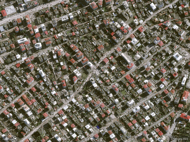
Türkiye and Syria are reeling from one of the worst earthquakes to strike the region in almost a century. Tens of thousands of people have been killed with many more injured in this tragedy.
Satellite data are being used to help emergency aid organisations, while scientists have begun to analyse ground movement – aiding risk assessments that authorities will use as they plan recovery and reconstruction, as well as long-term research to better model such events.
Copernicus Emergency Management Service